Wetlands
The restoration project at the Baliles Center consists of wetland, stream, and forest restoration and preservation. It has been permitted to offset impacts to aquatic resources from land development projects within the Middle and Lower Potomac watersheds.
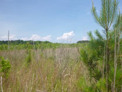
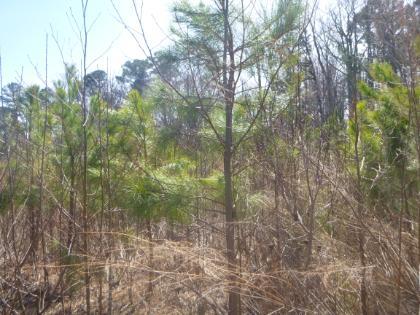
The goal of the project was to reforest agricultural fields, restore wetland hydrology and vegetation to fields that had been ditched and drained for crop production, convert a ditched stream into a sinuous meandering stream that connects to its floodplain, and preserve existing high-quality habitat in the woods.
Construction began in 2015, and consists of approximately 1,550 linear feet of stream restoration, 67-acres of wetland restoration/enhancement, and 96-acres of reforestation. An additional 4,750 linear feet of stream and 85-acres of wetlands are preserved via a conservation easement.
Overall, at least 67,000 native trees and shrubs were planted in areas that were historically maintained as agricultural fields.
By implementing this project, the watershed sees a variety of ecological benefits. Water quality is improved by intercepting surface runoff and removing inorganic nutrients, processing organic wastes, and reducing suspended sediments. By converting agricultural land to forest, nutrient loading downstream is decreased.
The restored wetlands can store and slowly release water, thereby lowering flood heights and reducing erosion downstream and on adjacent lands.
The restored stream on-site was previously a straightened and incised ditch that functioned to quickly drain water off of the fields and into the nearby waterways. It did not contain adequate habitat for aquatic species and was mowed up to the banks. The design and construction consisted of re-introducing a natural riffle-pool sequence into the stream, and creating bends and meanders. The water now more slowly leaves the site and overflows into the adjacent floodplain during large storm events, thereby helping to recharge the groundwater table while creating in-stream habitat. The streambanks were planted with shrubs and trees, and a wide vegetated riparian buffer was established. The stream continues to be monitored to ensure stability, and as of 2024, is in its final year of monitoring (Year 10).
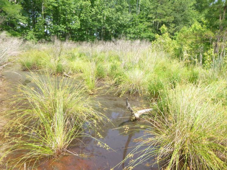
Preliminary site reconnaissance indicated that fields adjacent to forested wetlands also exhibited a high groundwater table. However, ditches and drain tile had been placed in those areas in the past to help with agricultural production, thereby draining the fields.
The design and construction of the wetland restoration consisted of decommissioning ditches when possible, excavating the ground surface to be closer to the high groundwater table, and removing drain tile.
Additionally, a deteriorating wooden dam on an artificial pond was removed, and the pond was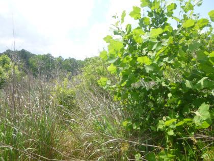
The wetlands continue to be monitored to ensure the successful establishment of a diverse habitat and wetland hydrology, and invasive vegetation is managed as to prevent its establishment. As of 2024, Phase I of the wetlands is in Year 8 of monitoring, and Phase II in Year 7.
Finally, both terrestrial and aquatic wildlife habitat is expanded and diversified.
Are you a land developer interested in purchasing credits?
Please contact RES: [email protected]
-750x561.jpg)

